Trails
Municipality of Chester
Note: some trails may be closed for repairs. For up-to-date information on trails and closures, visit Chester Recreation & Parks.
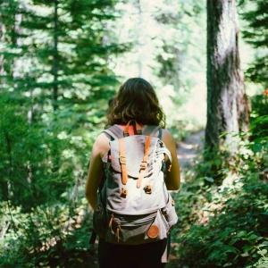
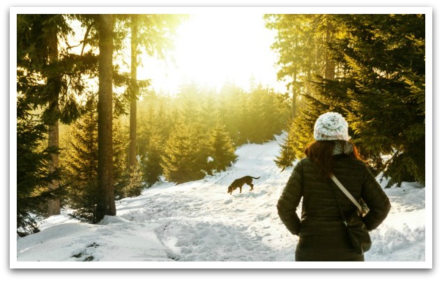
Rum Runners Trail
The Municipality of Chester operates 46 kilometers of trail on the former railway line from Martins River to Hubbards. The route connects our communities, serves as a safe off-road passage within our villages, and features some of the natural beauty of the South Shore.
Image
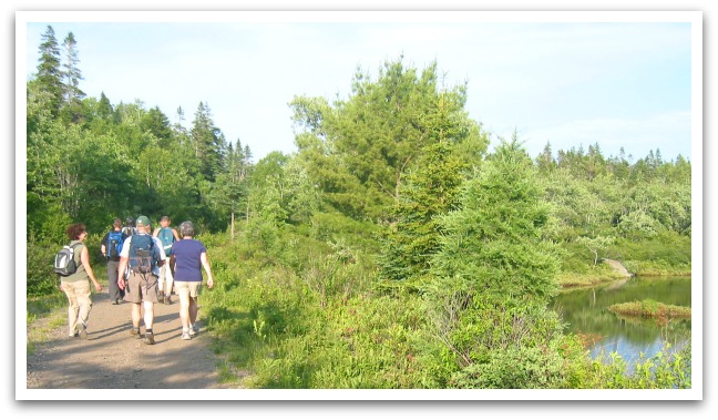
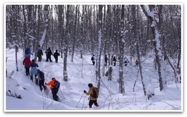
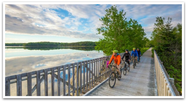
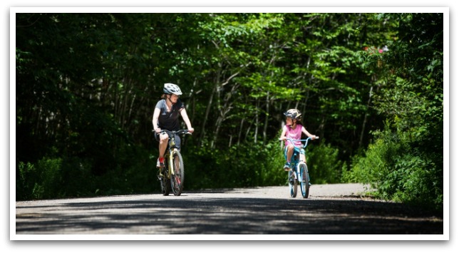
The surface of the trail is crusher dust and this, combined with the flat terrain, makes it ideal for easy travel. This is a multi-use trail so you should expect to see walkers, cyclists, off-highway vehicles, and even horseback riders. In the winter, you may come across people on snowmobiles, skiing, and snowshoeing.
Image
The Municipality officially opened the 35-kilometre Chester Connection Trail (Martins River to East River) on July 19, 2003. Shortly after, we took over the 11-kilometre Aspotogan Trail (East River to Hubbards). In 2017, the Rum Runners Trail officially opened, connecting Halifax to the Town of Lunenburg.
Image
The old rail bridges hold a special allure on the trail, there are 12 of them in the Municipality. The Gold River Bridge is the longest and highest at 367 feet long and 56 feet high. Not quite as grand but equally as beautiful are the Middle River Bridge and East River Bridge.
Castle Rock - East Chester
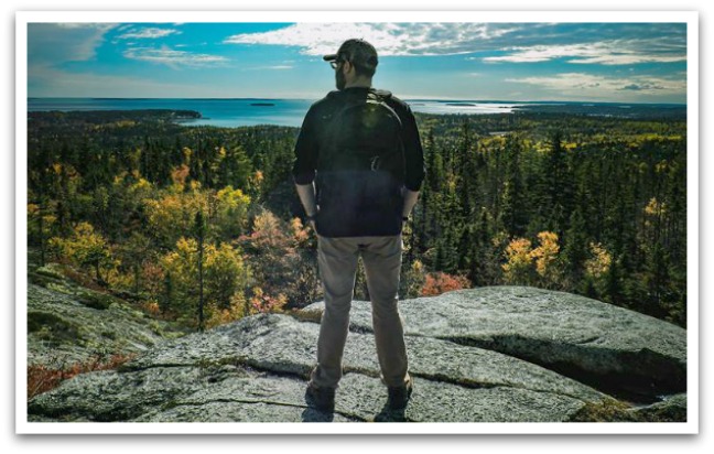
No hike through the Municipality of Chester is complete without climbing Castle Rock - located in East Chester - the trail and climb offer paths for every level of enthusiast and a vista that's second to none.
Image
New Ross
Most trails in New Ross are wooded roads carved out for the Christmas tree season; however, some can be used to run ATVs. Other trails are used for walking, with the most utilized being the Lion’s Park walking trail, which can be used for walking, snowshoeing, and cross-country skiing.
Image
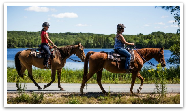
Or look for access to our snowmobile trails (maps are available at Vittles Family Restaurant). You can even enjoy the fresh air on horseback.
Image
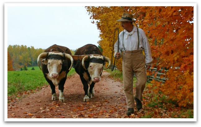
The New Ross Lion’s Walking Trail connects with the Ross Farm Museum and once you arrive there your trail leads back in time. Their interpretive trails are open year-round so you can always find adventure. For more information click here.
Image
One of the newest additions to our municipal offering is Ruby’s Trail – located on The Murphy Family Tree Farm - created in memoriam to their late granddaughter Ruby and in gratitude to the community who offered such support and compassion during their time of loss.
The Murphys will maintain the lot as a working Christmas tree farm, but they are excited to expand the potential of the property to include recreational trails. They understand that people have many different interests and that the property will attract many different types of users. Integral to this plan is the recognition of Ruby with one location in particular on Porcupine Hill that has an expansive view of the Village below and the rolling hills beyond. From this location, one can see Popner Hill, Lake Lawson, the Gold River Valley, and the school in one sweeping view.
Image

This location is labeled “Ruby’s Spot”, marked as a place of peace and quiet contemplation in dedication to all the wonderful children of New Ross. Ruby’s Spot also serves as an anchor point for the 5-7 km of trail that is being developed on the Murphy property to extend to “Max’s Hill”. Signage for the property is currently being developed. To access this trail: you will find its entrance behind the New Ross Credit Union and can park in the Legion or Credit Union parking lot. For more information on this and all other trails in the area check out the New Ross Trail Society.
Image
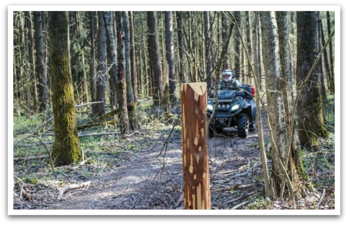
ATVs and Off-Roading
We are proud to be the home of the Shore Riders ATV Club – a community-orientated club that works diligently on local and surrounding communities' trails - maintaining bridges, bush cutting, repairing washouts, and constantly upgrading the beautiful wood trails for everyone to enjoy. With over 8500 acres of land use agreements in addition to the acres of Crow land connected to the trails – there’s a ton to take in while you're here.
For a complete list of and details on maps and trails visit the official site for ATVANS (All Terrain Vehicle Association of Nova Scotia).
ATVs are enjoyed year-round in Nova Scotia but can be more difficult during winter. You'll find some great advice for riding ATVs in the cold and snow on ATV.com.
Please note: in Canada, ATV laws vary by province. Visit the Nova Scotia website for a complete list of Off-Highway Vehicle Rules & Regulations.